Circle View Mountain, Ollera Falls, Banksias and Sesame Snaps
- Apr 19, 2020
- 3 min read
The idea of hiking close to the entirety of Ollera Creek, summiting Circle View Mountain and visiting Upper and Lower Ollera Falls in a return day trip would be laughed off by most and to my knowledge hasn’t been attempted by any adventurer in the past.
18.5 hours and 25km of endurance hiking through some of the toughest terrain I have experienced, with an elevation gain of over 1500m saw us accomplish this feat.
Circle View Mountain is in an extremely remote section of the Paluma Range National Park. At 831m elevation, this monster is nearly entirely encircled by Ollera Creek. Ollera Creek appears to form on the north eastern side of Circle View Mountain at an elevation of more than 600m. Fuelled by numerous other unnamed creeks and tributaries close to the upper reaches of Hencamp Creek, Ollera flows south west around the base of the mountain, before taking a general northerly direction. As the creek heads towards the ocean, it flows to the east. You’ll drive over Ollera Creek bridge heading north from Townsville, just before the first Paluma turnoff.
Leaving from Caleo Road at 7am, we followed the recently maintained Ollera Trail to Coffee Creek, which had a decent flow into Ollera Creek, the first time I have seen Coffee Creek in flow.

From Coffee Creek, we made our way to Lizard Gorge, the emerald waters of this marvel of modern nature intrigues me more and more each time I’m fortunate enough to visit.
From Lizard Gorge, under the watchful eye of numerous water dragons, some close to a metre long, we headed for Mickles Entry. Mickles entry is the end of the maintained trail and from this point, we rely on GPS navigation and a heap of good luck!

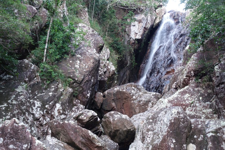
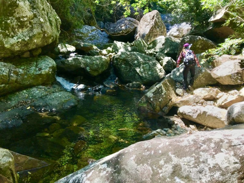
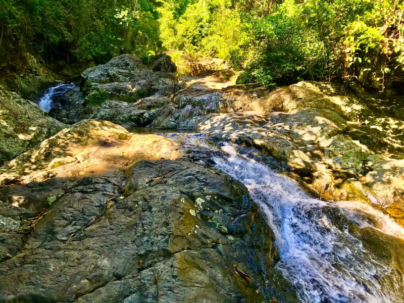
From Mickles Entry, we follow the upper reaches of Ollera Creek. By this stage, the creek line, although beautiful, is narrow and surrounded by thick rainforest, massive cliffs, gorges and impassable boulder fields. We navigate past magnificent waterfalls, cascades and terraces – this creek line really is something special. We took numerous diversions after Mickles Entry and approximately 500 metres past Mickles Entry and 1km from the summit of Circle View Mountain, we made the decision to exit the creek and head for the summit, following an unnamed creek line to the west of the summit, which was no more than a dotted line visible on the GPS – one of two trail options Mickle had designed.
Following this damp, mossy, boulder filled creek line towards the summit was a feat in itself. The creek line was steep, full of loose rocks, boulders and infested with gympie gympie, wait a while and all the regular rainforest nasties. We were forced to hike at least 10 metres apart due to the number of loose rocks and boulders we were dislodging as we clambered towards the summit, some half the size of me went rolling down the creek beneath us.

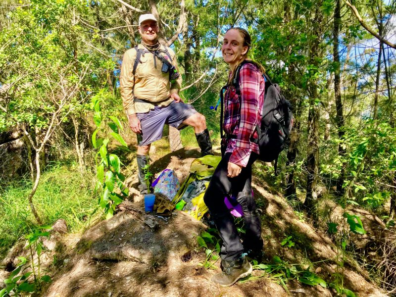
The creek line became impassable a couple of hundred metres from the summit so we climbed out into the thick rainforest and navigated this dense, dark section until eventually the light pierced through the canopy and the terrain changed to thick, wooded scrub close to summit level. We hiked nearly vertical at times, clambering up and over rocky cliff faces, holding onto grass trees for dear life as we approached the summit. To give you an idea how tough the terrain was, the final 500m took hours and we gained approximately 500 metres elevation!